.svg)

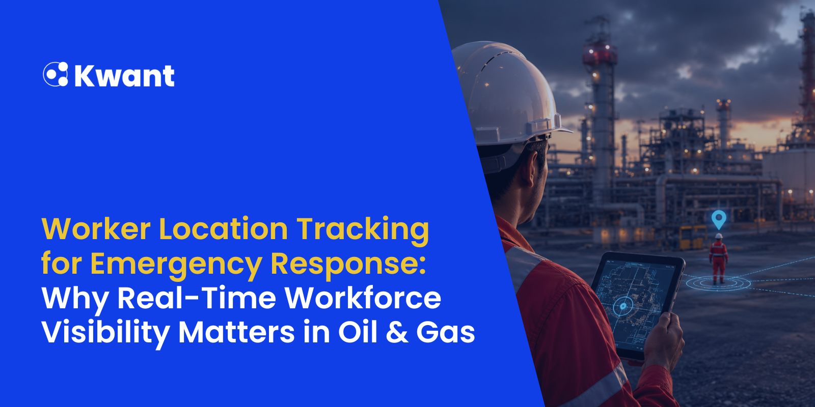


Quick Summary: Real-time worker location tracking gives oil and gas operators a live view of where employees, contractors, and visitors are during an emergency, replacing static rosters and manual headcounts with continuously updated workforce data. By combining real-time location tracking, hazardous area monitoring, location-based alerts, and digital muster management, incident commanders can identify workers inside affected zones, send targeted evacuation instructions, confirm who has reached safety, and prioritize rescue efforts. For large refineries, LNG terminals, and other high-risk facilities, a unified workforce visibility platform such as Kwant can improve emergency preparedness while reducing response uncertainty and operational disruption.
In oil and gas operations, every second counts during an emergency. Real-time worker location tracking gives incident commanders instant visibility into where employees and contractors are, enabling faster evacuations, accurate digital mustering, and more effective rescue coordination. By combining live workforce visibility, hazard zone monitoring, automated alerts, and digital muster management, organizations can improve worker safety, reduce response times, strengthen regulatory compliance, and minimize operational disruption. Investing in a comprehensive workforce visibility platform like Kwant helps operators protect people, streamline emergency response, and build a safer, more resilient operation.
Why Real-Time Worker Location Tracking for Emergency Response Matters
An emergency on an oil and gas site rarely stays contained.
A gas release can force an immediate evacuation. A fire can shut down multiple work areas. A confined space incident may require specialized rescue teams before anyone can safely enter. Every minute matters, and every decision depends on one question:
Who is where right now?
For many operators, the answer is still harder to find than it should be. Contractors sign in at the gate. Supervisors keep crew lists. Radios relay updates between teams. During normal operations, these processes often seem sufficient.
They begin to break down the moment conditions change.
Emergency response depends on accurate information delivered immediately. Without real-time workforce visibility, incident commanders are forced to make critical decisions based on incomplete data, increasing both operational risk and the likelihood that emergency resources are deployed inefficiently.
Worker location tracking has become more than a productivity tool. For industrial facilities, refineries, LNG terminals, and upstream operations, it is becoming a fundamental part of modern emergency response.
Why Emergency Response Is Different in Oil & Gas
Oil and gas facilities operate in environments where the consequences of delayed decisions are unusually high.
Large industrial sites often span hundreds or thousands of acres. Multiple contractors may work alongside owner personnel across drilling operations, processing units, pipelines, compressor stations, storage facilities, or turnaround projects. Work locations shift throughout the day, and crews frequently enter hazardous or restricted areas.
Unlike traditional commercial construction, emergency situations in oil and gas often involve conditions that continue evolving after the initial event. Gas concentrations change. Wind shifts alter evacuation routes. Equipment shutdowns create new hazards while removing others.
This dynamic environment places enormous pressure on emergency response teams.
Industry guidance from organizations such as OSHA's Process Safety Management standard (29 CFR 1910.119) and the American Petroleum Institute's Recommended Practice 754 (API RP 754) emphasizes emergency planning, accountability, evacuation procedures, and hazard communication. These plans depend on knowing where workers are located and whether everyone has reached a designated safe area.
The challenge is that static attendance records cannot answer dynamic questions.
A worker who badged in six hours earlier may no longer be working in the same unit. A contractor assigned to one area may have been redirected to another. Maintenance crews can disperse across multiple work zones throughout a shift.
Without continuous workforce visibility, emergency response plans lose accuracy precisely when they matter most.
The Cost of Not Having Worker Location Tracking for Emergency
Emergency response failures rarely stem from a lack of effort.
More often, they result from missing information.
When workforce location data is unavailable or outdated, even experienced response teams face unnecessary uncertainty. According to the Bureau of Labor Statistics, the oil and gas extraction industry consistently records fatality rates multiple times higher than the all-industry average. The accountability failures during incidents also remain a documented contributing factor in delayed rescues.
Some of the most common operational challenges include:
- Rescue teams searching areas that have already been evacuated
- Delays confirming whether contractors remain inside hazard zones
- Inaccurate headcounts at muster points
- Supervisors relying on phone calls or radio traffic to locate personnel
- Confusion when multiple subcontractors maintain separate attendance records
- Emergency managers spending valuable minutes reconciling conflicting information
These delays carry real operational consequences.
A worker who cannot be accounted for may trigger additional search operations, exposing rescue personnel to unnecessary risk. Entire sections of a facility may remain shut down while accountability is verified. Incident investigations become more difficult when there is no reliable historical record showing who entered specific work areas and when.
The financial impact extends beyond the immediate emergency. Lost production, delayed restarts, regulatory scrutiny, contractor disruption, and reputational damage all increase when organizations cannot demonstrate effective workforce accountability.
Emergency response is only as strong as the information supporting it.
What Real-Time Workforce Visibility Looks Like
Effective worker location tracking is not simply about placing dots on a map.
The goal is to provide decision-makers with accurate, actionable information throughout an incident from the moment an alarm sounds to the final accountability check at muster..
Modern workforce visibility platforms use a combination of hardware and software to make this possible. IoT-enabled smart wearables, such as smart badges and hard hat tags worn by every worker, on site helps to continuously transmit location signals to edge sensors installed across the facility. This creates a real-time location system that updates worker positions as people move through zones, work units, and restricted areas without requiring manual check-ins or supervisor intervention.
A complete emergency response workflow typically includes:
Together, these capabilities create a continuously updated operational picture.
Instead of asking supervisors to manually account for dozens of workers across multiple locations, incident commanders can focus on making informed decisions based on current workforce data.
The result is faster accountability, better coordination, and more effective emergency response.
Turning Worker Location Data Into Faster Emergency Response
Technology alone does not improve emergency response. The value comes from how location data supports decision-making before, during, and after an incident.
The strongest workforce tracking systems combine several capabilities into a single operational workflow rather than treating location tracking as a standalone feature.
1. Hazard Zone Monitoring
Oil and gas facilities contain areas where access must be tightly controlled. These may include confined spaces, process units, high-pressure equipment, energized electrical rooms, flare zones, or areas where hazardous gases may be present. Hazardous area workforce tracking provides real-time visibility into employees and contractors working inside high-risk zones such as confined spaces, process units, flare areas, energized equipment areas, or locations where hazardous gases may be present. Instead of relying on manual sign-in records or assigned work locations, connected badges, hard-hat tags, and site sensors continuously update worker positions and can trigger alerts when personnel enter restricted areas.
Real-time hazard zone monitoring helps operators understand not only where workers are, but whether they have entered areas requiring additional controls or evacuation. Platforms with Zone IQ heatmaps allow safety managers to define restricted areas digitally and receive automatic alerts when workers enter or linger in those zones, without relying on physical signage or manual verification.
During an incident, this visibility becomes critical. Instead of manually identifying which contractors were assigned to a unit, emergency coordinators can immediately determine who is inside the affected area and prioritize notifications accordingly.
Outside of emergencies, the same data supports stronger safety practices by identifying unauthorized entries, recurring exposure patterns, and opportunities to improve work planning.
2. Real-Time Workforce Alerts
Communication failures often become one of the biggest obstacles during an emergency.
Radio channels become congested. Supervisors may be responsible for multiple crews. Contractors from different companies may follow different communication procedures.
Real-time mass text alerts for the workforce reduce these delays by delivering targeted notifications directly to affected personnel based on their current location rather than broadcasting messages across the entire site.
For example, if a gas leak occurs in one processing unit, workers in that area can receive immediate evacuation instructions while operations continue safely elsewhere on the facility.
This location-aware approach minimizes confusion while helping emergency teams focus resources where they are needed most.
4. Digital Muster Management
Traditional muster processes rely on supervisors checking names against printed lists or manually reporting headcounts over the radio.
While familiar, these methods become increasingly difficult on large industrial sites with hundreds or thousands of workers from multiple contractors.
Digital muster management software automatically confirms when workers reach designated assembly points, giving incident commanders a live accountability dashboard instead of waiting for manual updates.
Rather than asking:
"Has everyone arrived?"
Response teams can identify exactly who remains unaccounted for and where they were last detected before the incident.
This significantly reduces the time required to complete accountability while improving confidence in the information guiding rescue decisions.
What Leading Operators Are Doing Differently
The industry's most advanced organizations no longer think about worker location tracking as an emergency tool that sits idle until something goes wrong.
They use workforce visibility every day.
Real-time location data supports contractor management, access control, permit verification, workforce planning, productivity analysis, and compliance reporting long before it becomes part of an emergency response. Platforms that also integrate fatigue management for monitoring cumulative shift hours and flagging workers at elevated fatigue risk can extend this daily value by addressing one of the leading contributors to industrial incidents before anything goes wrong.
This daily operational use delivers two important advantages.
First, location information remains accurate because workers are already interacting with the system as part of normal site operations. There is no need to activate a separate emergency process during an incident.
Second, historical workforce data creates a valuable operational record that helps organizations improve future planning. Teams can review evacuation timelines, analyze congestion at muster points, identify recurring bottlenecks, and refine emergency procedures based on actual workforce movement instead of assumptions.
As workforce intelligence platforms continue incorporating AI-powered predictive analytics, organizations are also beginning to identify patterns that were previously invisible. Predictive insights can highlight recurring congestion, frequently accessed hazard zones, or staffing trends that increase operational risk before an incident occurs.
One example of this approach in action: Kwant deployed real-time workforce visibility across a major U.S. LNG facility spanning 1,140 acres and supporting more than 7,500 workers. The platform enabled precise tracking in high-risk environments, improved safety and emergency response, and provided complete workforce oversight from construction through production. Read the full LNG case study
The future of emergency response is not simply reacting faster. It is using workforce intelligence to anticipate problems and improve preparedness across an entire portfolio of industrial facilities.
What to Look for in a Worker Location Tracking Platform
Not every workforce tracking solution provides the level of visibility required for complex oil and gas operations.
When evaluating platforms, operators should look beyond basic location tracking and consider how the system supports the complete emergency response lifecycle.
A strong solution should provide:
- Continuous real-time worker location tracking across the entire site
- Hazard zone monitoring with configurable restricted areas
- Automated real-time workforce alerts based on worker location
- Digital muster management with live accountability reporting
- Historical movement records for investigations and compliance documentation
- Support for employees, subcontractors, visitors, and temporary workers within one workforce view
- Scalable deployment across multiple facilities and projects
- Reliable performance in challenging industrial environments, including intrinsically safe wearable devices certified for use in explosive atmospheres
- Integration with existing access control systems and workforce management tools
The most capable platforms bring all of this together in a unified workforce operating system rather than a patchwork of disconnected tools. This makes the data become immediately available to every stakeholder, from field supervisors to corporate safety directors managing a multi-site portfolio.
Equally important is ease of adoption.
Emergency procedures only work if the underlying workforce data is accurate. The best platforms integrate naturally into daily operations so worker locations remain current without adding unnecessary administrative work for supervisors or field personnel.
Worker accountability has always been a core responsibility in oil and gas operations. What has changed is the ability to achieve it in real time.
When an emergency occurs, every decision depends on accurate information. Knowing exactly where workers are, who has reached safety, and who may still require assistance enables faster, more confident responses while reducing uncertainty for everyone involved.
As industrial facilities become larger, contractor ecosystems become more complex, and operational risks continue evolving, real-time workforce visibility is becoming a foundational capability rather than an optional enhancement.
Organizations that invest in worker location tracking are not simply adopting new technology. They are building a safer, more informed approach to emergency response that protects both people and operations.
See How Kwant Supports Real-Time Workforce Visibility
Kwant helps industrial operators gain real-time visibility into their workforce with location tracking, digital muster management, hazard zone monitoring, and workforce intelligence designed for complex, high-risk projects. The platform is proven across large-scale LNG sites, refineries, and multi-contractor turnarounds, environments where worker accountability cannot wait.
Explore Kwant's oil and gas workforce platform or request a demo to see how Kwant can strengthen emergency response while improving workforce visibility across your operations.
FAQ on Worker Location Tracking for Emergency in Oil & Gas Jobsites
1. What is worker location tracking in oil and gas?
Worker location tracking is the ability to monitor where employees and contractors are across an industrial facility in real time. Unlike gate access logs or manual attendance sheets, modern workforce visibility platforms use IoT hardware including smart wearables such as smart badges and hard hat tags. So continuous updates are being done for worker locations as they move throughout a site. This information supports emergency response, hazard zone monitoring, workforce planning, and operational decision-making without relying on manual reporting.
2. How does worker location tracking improve emergency response?
During an emergency, responders need immediate, accurate information about who is affected and where they are located. Real-time workforce visibility eliminates the need to reconcile paper rosters or rely solely on radio communications. Incident commanders can quickly identify workers inside affected areas, monitor evacuation progress, verify accountability at muster points, and deploy rescue resources more effectively. Platforms with integrated mass text alerts also allow targeted evacuation instructions to be delivered directly to workers in specific zones within seconds
3. Is worker location tracking only useful during emergencies?
No. While emergency response is one of the most critical applications, workforce location data provides value every day. Operators use it to monitor contractor activity, manage site access, verify work assignments, understand workforce distribution, improve productivity, and analyze historical trends. Many platforms also incorporate fatigue management capabilities that use location and hours data to flag workers approaching risk thresholds during long shifts. Because the system is already part of daily operations, the data remains accurate and immediately available if an emergency occurs.
4. How is hazard zone monitoring different from basic location tracking?
Basic location tracking shows where workers are on a site. Hazard zone monitoring adds operational context by defining restricted or high-risk areas and detecting when workers enter, leave, or remain inside those zones. Using tools like Zone IQ heatmaps, safety teams can visualize worker density across process units, flag unauthorized entries into confined spaces or flare zones, and build a historical exposure record for compliance and investigation purposes. This allows safety teams to verify compliance with work plans, respond more quickly to incidents, and better understand worker exposure to operational risks.
5. What is digital muster management software?
Digital muster management software automates worker accountability during an evacuation. Instead of manually checking names against printed lists, the system confirms when workers arrive at designated assembly points and provides emergency coordinators with a live view of who has been accounted for and who may still require assistance. This reduces accountability time while improving confidence in emergency response decisions.
6. What hardware does worker location tracking require?
Most enterprise-grade worker location tracking platforms use a combination of wearable devices and fixed sensors. Workers wear smart badges or hard hat tags equipped with GPS, Bluetooth Low Energy (BLE), RFID, or LoRaWAN radios depending on the environment. Fixed sensors installed across the site create a coverage mesh that reads these signals and reports location to the platform in real time. For oil and gas applications specifically, devices must be intrinsically safe and ATEX-certified for use in potentially explosive atmospheres. The real-time location system works both indoors and outdoors, making it suitable for the full range of environments found across a refinery or LNG terminal.
7. What should operators look for in a workforce visibility platform?
The most effective workforce visibility platforms combine multiple capabilities into a single solution. Key features to evaluate include:
- Real-time worker location tracking
- Hazard zone monitoring
- Automated workforce alerts
- Digital muster management
- Historical workforce movement records
- Contractor and visitor management
- Scalable deployment across multiple facilities
- Reliable performance in industrial environments
- Integration with existing access control and workforce management systems
Rather than evaluating these capabilities individually, operators should consider how they work together to improve both day-to-day operations and emergency preparedness.
%20(1).svg)


